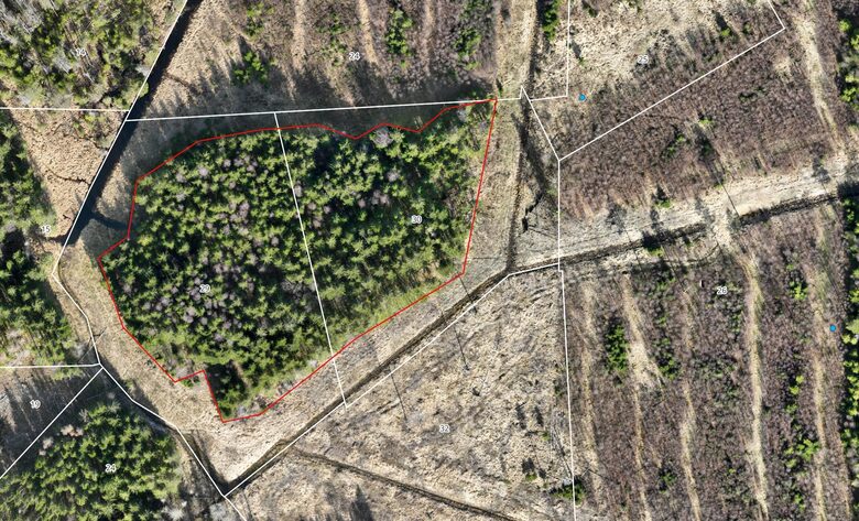
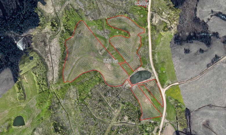
Drone Intelligence for Forest Management

We provide drone-based forest mapping and data analytics to help landowners and managers make faster, smarter, and more precise decisions about their forests.

End-to-End Drone Mapping and Analysis

From data acquisition to actionable insights - SKOGBERG delivers precise drone mapping and analytics for smarter forest management.

Forest Mapping

High-resolution drone data collection across hundreds of hectares daily.
Orthophotos, elevation models, and GIS-ready outputs for accurate planning.

Data Analytics

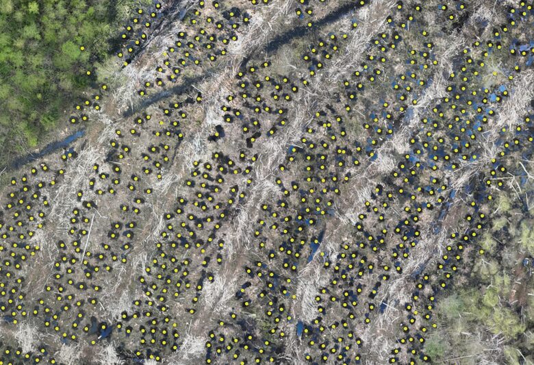
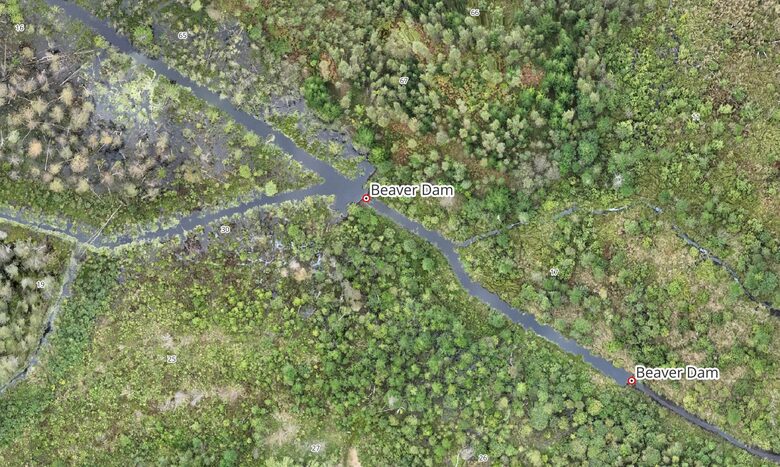
Comparison of forest inventory data with real field conditions.
Before/after activity analysis, area and length measurements, and AI-based feature detection.

Monitoring & Reporting

Regular drone surveys for tracking forest operations and regeneration.
Results delivered as WMS layers, PDF summaries, or interactive web maps.

Consulting & Integration

Tailored solutions for integrating drone-based insights into your forest management.
We help improve efficiency, transparency, and data-driven decisions.

Accurate Forest Inventory Comparison

High-resolution drone maps reveal the true boundaries and structure of forest compartments.
By comparing inventory data with the actual aerial situation, we help detect discrepancies in borders, stand conditions, and management accuracy.

Accurate Area Measurement

We measure afforestation, regeneration, and other land areas with high precision.
Results are delivered as shapefiles ready for use in your forest management systems.

AI-Based Object Detection

Using AI tools, we can automatically detect and count different forest artifacts — such as soil scarification spots, planting mounds, or stumps.
This helps plan the required number of seedlings and evaluate the quality of site preparation with high precision.

Beaver Dam Mapping

We detect and map every beaver dam with drones - providing exact coordinates and optimal access routes for efficient management.

Before & After Analysis

We compare high-resolution drone maps and data layers to visualize changes after forest operations or natural events — for example, assessing harvesting results or water level differences before and after beaver dam removal.

Field Demonstrations and On-Site Assessments

We organize field visits where clients can observe their forest assets from a new perspective.
During on-site demonstrations, we showcase how drone technology captures detailed forest data, visualize stand conditions, and support management decisions directly in the field.

Contact SKOGBERG

Get in touch to learn more about our drone mapping, analytics, and forest management solutions.
We’ll respond as soon as possible to discuss how SKOGBERG can support your projects.